Walking a potential commercial site in early spring often feels like an exercise in imagination. The ground is soft, the sightlines are obscured by brush, and what looks like a gentle slope to the naked eye could actually be a significant grade change. Developers frequently stand on these parcels trying to visualize parking lots and retail frontages, hoping the dirt cooperates with their vision. It is a moment of immense potential, but also a moment where unverified assumptions can severely disrupt a budget.Topographic Mapping for Commercial Development helps developers identify elevation changes, understand site conditions, and make informed decisions before construction begins.
We completely understand the pressure of evaluating raw land before a closing date. You want to know if the site geometry supports your intended building footprint without requiring massive earthmoving operations. Relying on outdated county GIS data or simple visual inspections leaves to much room for interpretation.
This is where precise land surveying steps in to replace uncertainty with hard geometry. A professional topographic survey acts as the foundational truth for your entire design team, setting a clear trajectory for the project.
The Core Elements of Topographic Mapping for Commercial Development
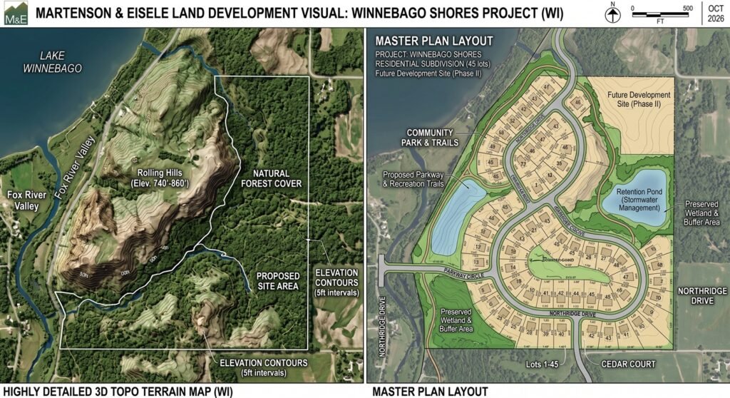
A topographic map is essentially a highly accurate 3D model of your property translated onto a 2D plane. It captures the exact elevation, contours, and physical features of the land as they exist in the real world. Architects and civil engineers rely entirely on this data to design structures that interact safely with the physical environment.
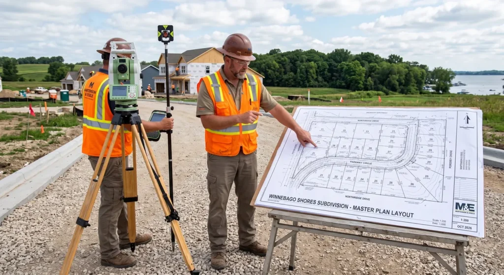
When we deploy surveying crews to a commercial parcel, they are documenting an extensive list of surface conditions. This data gathering goes far beyond simply marking the property boundary corners.
A standard topographic survey systematically records:
- Contour Lines: Continuous lines representing equal points of elevation, showing the exact steepness of slopes and natural drainage patterns.
- Existing Infrastructure: The exact locations of adjacent roads, curbs, sidewalks, and visible utility structures like manholes or fire hydrants.
- Natural Features: Significant tree lines, wetlands, rock outcroppings, and existing water bodies that limit your buildable area.
- Prior Improvements: Any existing retaining walls, old foundations, or abandoned paved surfaces hiding beneath the overgrowth.
Translating Topography into Architectural Feasibility
Your architectural team needs a reliable topographic base map to determine how a building will physically sit on the site. If a parcel features a significant elevation drop from front to back, the architectural design must respond appropriately to the terrain.
This data directly informs whether the project requires a stepped foundation, structural retaining walls, or a walk-out lower level. Without accurate contour data, an architect might design a flat, slab-on-grade structure that physically cannot be built without importing thousands of yards of expensive fill dirt. Accurate mapping allows the design team to optimize the building placement and align the structure with natural access points.
Key architectural decisions driven entirely by topography include:
- Finished Floor Elevations (FFE): Establishing the exact height of the main floor to ensure safe pedestrian access and compliance with the Americans with Disabilities Act (ADA).
- Building Orientation: Aligning the structure to maximize natural daylight or shield entries against prevailing winter winds based on the existing terrain.
- Structural Loading Configurations: Identifying steep grades that might require specialized, deeper foundation systems to prevent long-term soil slippage.
Coordinating Civil Engineering and Stormwater Control
Water management is arguably the most demanding aspect of any commercial project in Wisconsin. Topographic mapping provides the mathematical foundation for every stormwater calculation our civil engineers perform. Engineers use the survey contours to understand the exact size and behavior of the natural watershed.
They must calculate how much water currently flows across the site and precisely predict how that flow will change once a paved parking lot replaces an open field. Precise elevation data prevents water from pooling against your foundation or washing out adjacent properties during a spring thaw. It allows the engineering team to design gravity-fed storm sewers rather than relying on expensive, maintenance-heavy mechanical lift stations.
Engineers rely heavily on topographic data to execute:
- Earthwork Balancing: Calculating the exact volume of dirt that must be cut from high spots and moved to fill low spots, minimizing the need to haul soil off-site.
- Detention Basin Sizing: Designing retention ponds that are perfectly calibrated to hold peak runoff volumes based on the site’s natural low points.
- Utility Routing: Ensuring underground sanitary sewer laterals have enough downward slope to connect cleanly to the municipal mains without stalling.
Modern Technologies in Land Surveying
The tools used to capture topographic data have advanced significantly, offering developers unprecedented accuracy and turnaround speed. We select the specific mapping technology based on the size, tree cover, and complexity of your individual parcel. Traditional total stations and GPS rovers remain the backbone of the industry, providing pinpoint accuracy for dense, overgrown sites where the sky is obstructed.
For larger or highly complex projects, we often deploy advanced scanning methods to generate massive point clouds. These advanced tools create an exact digital twin of the property.
Advanced surveying options include:
- UAV (Drone) Photogrammetry: Rapidly capturing high-resolution aerial imagery and elevation data across massive, open parcels in a single afternoon.
- 3D Laser Scanning: Ground-based LiDAR (Light Detection and Ranging) that records millions of data points per second, perfect for highly detailed urban sites with complex existing architecture.
- Robotic Total Stations: Automated, high-precision instruments that allow a single surveyor to measure exact elevations in high-traffic or hazardous environments safely.
Every successful commercial development begins with understanding the ground you are building on. When you equip your team with accurate, complete survey data, you eliminate the guesswork that causes schedule delays and structural redesigns. If you are evaluating a new commercial parcel and need a clear picture of its physical feasibility, connect with the Martenson & Eisele land surveying and mapping team to secure the exact data your project needs to move forward.
Frequently Asked Questions
How long is a topographic survey valid for commercial development?
Topographic data represents a specific snapshot in time. Generally, a survey remains valid as long as no significant physical changes have occurred on the site or adjacent properties. If neighboring lots have been heavily graded, municipal roads have been widened, or severe erosion has occurred, you will likely need an updated survey to ensure your drainage calculations remain accurate.
Can we use county GIS maps instead of a professional topographic survey?
County GIS (Geographic Information System) maps are fantastic for high-level preliminary research, but they lack the granular accuracy required for architectural and civil design. GIS contour lines are often interpolated from aerial data and can be off by several feet vertically. Designing a commercial building based on GIS data is a massive risk that local plan commissions and building inspectors will not accept.
Should we order the boundary survey and topographic mapping at the same time?
Absolutely. Combining the boundary and topographic surveys is the most efficient and cost-effective approach. Our field crews can locate your exact property corners, identify any recorded easements, and map the physical elevations in a single mobilization, giving your design team a unified digital file from day one.